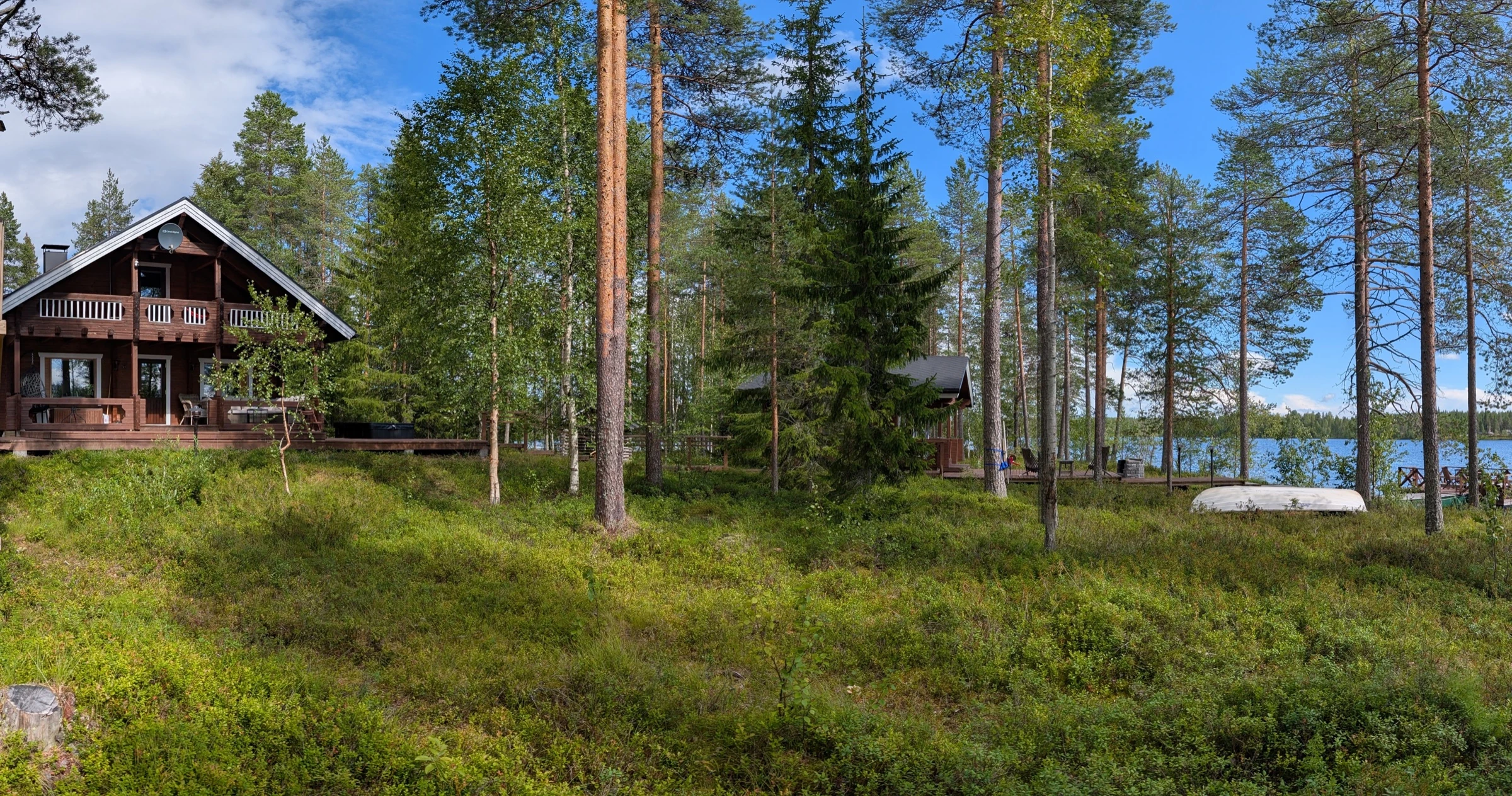



Small encounters in nature
The woods and lakes around Mökki Tikka offer walks and nature observation in different seasons. For a guided walk, contact us about an excursion with our local partner.
Our selection ranges from short family walks to unmarked wilderness routes. Choose according to experience, daylight and conditions. Times and distances are approximate; check the current route map, access and trail condition before setting out. A summer difficulty rating does not describe an icy winter trail.
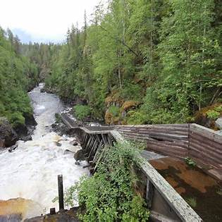
Auttiköngäs waterfall
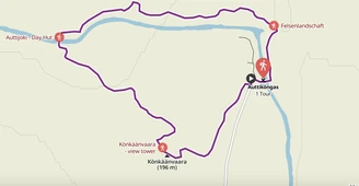
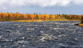
A roughly 16-metre waterfall on the Auttijoki, surrounded by taiga forest. The approximately 3.6 km nature trail passes the gorge, walkways, stairs, viewpoints and resting places, with a lookout tower above the forest.
- Allow about 1.5–2 hours; moderate terrain with steps.
- Suitable for a family outing if everyone can manage the route.
- Autumn brings colour; winter conditions need a separate check.
- Approximately 80 km from Mökki Tikka, around an hour’s drive in suitable conditions.
Korouoma canyon
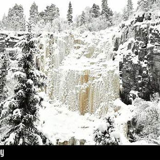
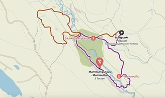
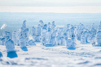
The long gorge is known for frozen waterfalls in winter and green river scenery in summer. This is a nature reserve, not a national park. Routes range from day walks to longer hikes. Koronjää is a roughly 5 km loop from Saukkovaara; steep sections make conditions important. Piippukallion pihaus is a summer route whose steep slopes are hazardous in winter. The destination is approximately 94 km away.
Riisitunturi National Park
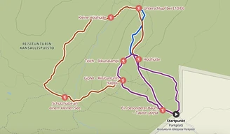
Fells, forest and wide views make Riisitunturi a rewarding day out. The Riisin rääpäsy route is one option. Depending on the trail, allow around 2–5 hours and choose between easier and more demanding terrain. The journey is roughly 90 km, depending on the starting point.
Simojärvi–Soppana
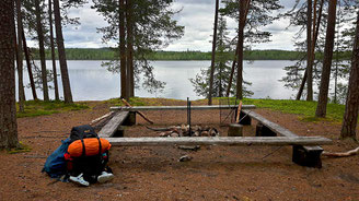
Forest paths, lakeshores and resting places with fire areas make this a nearby choice for a quieter walk. The area contains different route options: select your starting point and length on the map rather than assuming every trail is a 5 km circuit. The starting area in our selection is about 34 km away.
Palotunturi
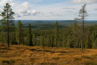
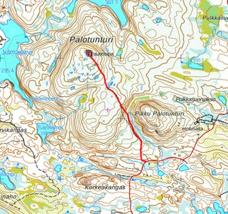
An out-and-back walk through old woodland, mires and fell scenery to a summit at about 391 m. The historic fire-watch hut and a fire area add interest to the viewpoint. Allow around 2–3 hours on moderate terrain. The area is approximately 90 km away.
Autumn walks: ruska
Riisitunturi and the surrounding forests offer routes for enjoying autumn colour, from short walks to longer outings. “Ruskavaellus” means an autumn-colour hike; check the specific route and starting point when choosing your walk.
Rytivaara in Syöte National Park
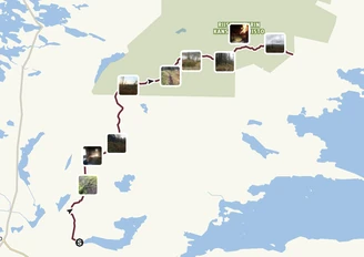
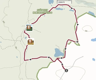
This roughly 10 km circuit belongs to Syöte, not Riisitunturi. It combines old farm surroundings, meadow mires and forest, with the historic Rytivaara farm, a well and a resting place. Allow approximately four hours on moderate terrain. Our selected starting point is around 97 km away.
Koukku Äijän Polku
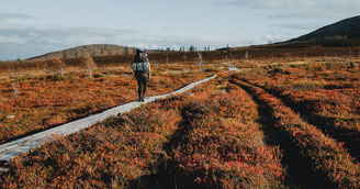
A nature trail in the Simojoki area through woodland and wetlands. The route is around 8 km, with access from Mauru or Peurajärvi. The section near Ruonalammentie leads towards the Suhankojoki and a simple shelter with a fire area. Allow roughly 2–3 hours, depending on your route; boardwalks can be slippery. This is an option for a quieter outing in the wider Ranua area.
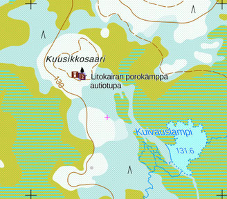
Litokaira wilderness
Litokaira extends across Ranua and Pudasjärvi towards Ii. Mires, old forest and remote resting places suit walkers with navigation experience. From Papinpalo, unmarked paths lead towards the birdwatching tower, the Tervo shelter and further into the area.
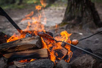
Trips can last an hour or several days. Wilderness huts and fire areas provide stopping places, but this is not a marked family circuit. Choose the access point carefully and carry a map.
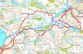
Paasonjärvi and Paasonvaara
The longer forest route in our selection is about 11.3 km, with bridges, mires and resting places; the Paasonvaara viewpoint route is around 5 km. Allow 3–5 hours for the longer outing. Markings and boardwalk condition need checking. This is better suited to walkers confident with navigation.
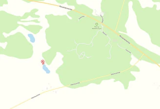
Repolampi near Ranua Wildlife Park
A short walk to a lean-to shelter and fire area near the fitness trail. The approach from Heinisuo road is under a kilometre, with views of pond and wetland. Allow 30–60 minutes for an easy outing or picnic. Check the surface conditions if travelling with a pushchair or someone with limited mobility. Approximately 25 km away.
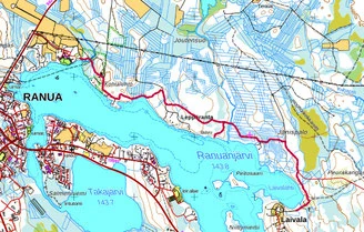
Ranuanjärvi lakeside path
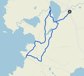
A path along the lake’s northern shore, linking the Christian college area and Laivala. The described route is about 7 km and is not a circular walk: check whether your planned distance includes the return. Allow around 2–3 hours according to your chosen section. There is a fire area near the lake; the destination is approximately 30 km away.
More destinations for a day out
- Syöte: fell landscapes, forest and mires; distance depends on the entrance.
- Oulanka and the Karhunkierros trail: approximately 154 km.
- Hossa, with waterways and rock paintings: approximately 174 km.
- Valtavaara in the Kuusamo area: approximately 127 km.
- Livaara and its old forest: approximately 150 km.
- Simojärvi: islands, lakeside walks and canoe outings.
- Ranua Wildlife Park: a separate animal-park outing.
- Bear-watching providers around Kuusamo, including Taigabear and Karhu Kuusamo: contact the operator for arrangements.
Official outdoor maps and current trail information · Ranua’s outdoor routes
The cabinExperiences & regionJournal